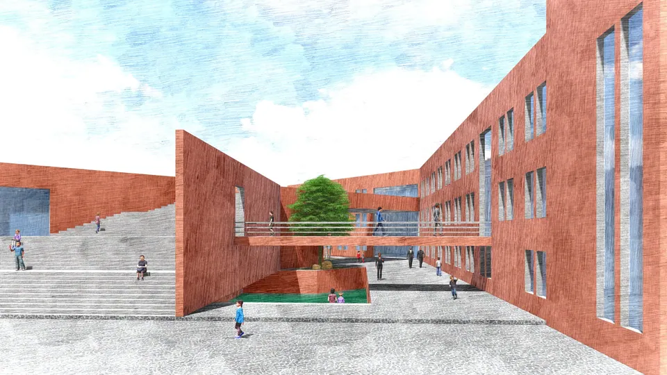
DPS Shamli
Shamli
learn
3 projects ≈ 254 m
Shamli
| Preview | No. | Project | Place | Altitude | Typology | Stage | Year |
|---|---|---|---|---|---|---|---|
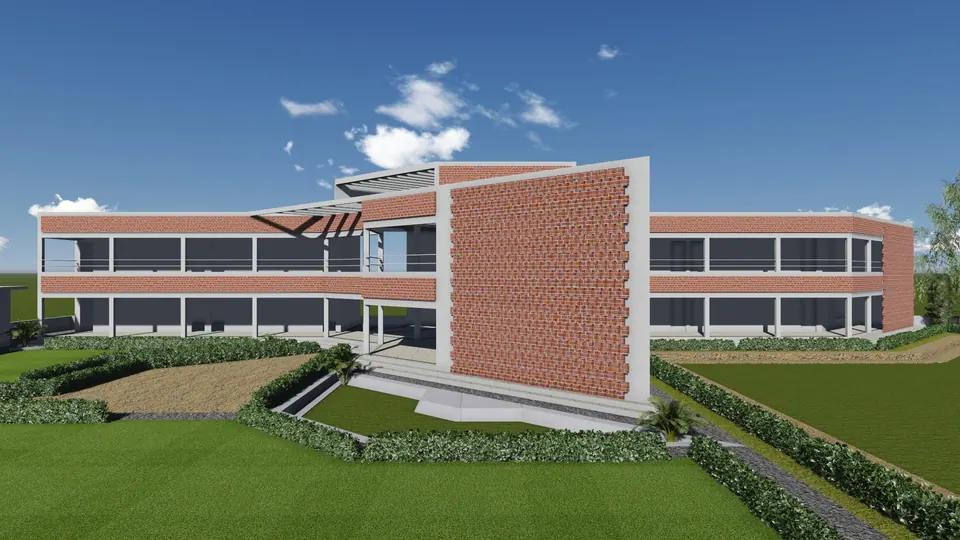
| | SD-055 Design visualisation | DPS Shamli | Shamli | approximately 254 m | learn | Not recorded | Not recorded |
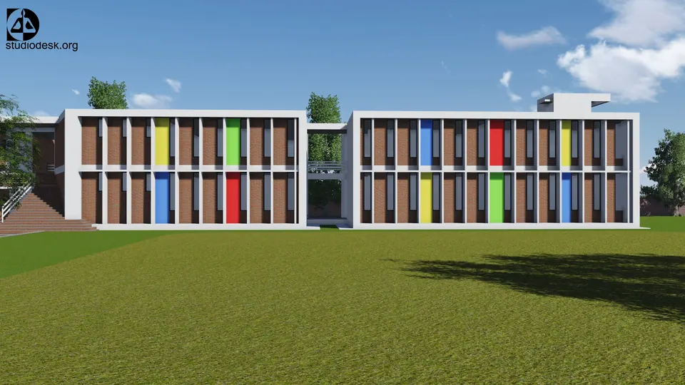
| | SD-016 Design visualisation | Adharshila School | Not recorded | Not recorded | learn | Not recorded | Not recorded |
| | SD-003 Design visualisation | BVIC School | Not recorded | Not recorded | learn | Not recorded | Not recorded |
Each project at its altitude, from the plains at 190 m through the Doon valley floor at 640 m, the studio’s datum, to the ridge. Ordered by altitude, from the plains up. Ordered by altitude; horizontal position not to scale. ≈ marks a town’s approximate altitude, where the site’s own is not recorded.
Altitude not recorded
Try other filters, or go straight to a typology.
learn · Schools
For schools, mention the site’s town or district and what you would like to build.