Catalogue number SD-025

Doon Suburbs

Master planning and landscape
Dehradun · approximately 640 m

approximately 640 m, at the Doon valley floor · the town’s altitude
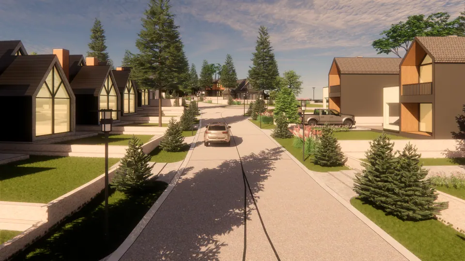
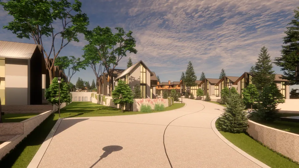
Rendered residential street with gabled, glazed houses on both sides, lamp posts, lawns and parked cars
Fig. 01 Design visualisation Street with houses on both sides

01 Arrival

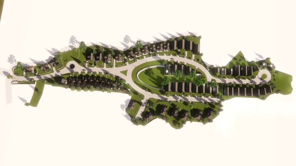
Rendered top view of the layout: houses along looping roads around a central oval green, on a white ground
Fig. 02 Design visualisation Layout, top view
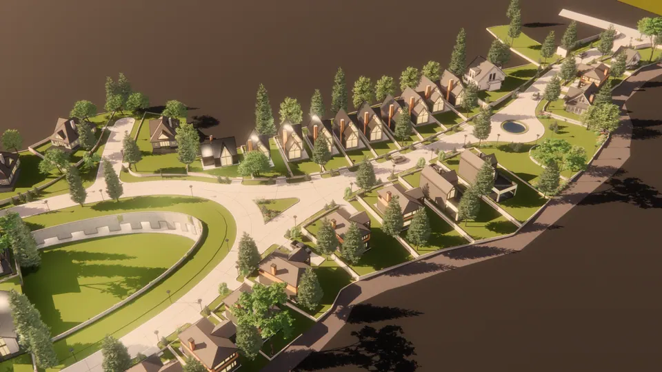
Rendered aerial of gabled houses lining a curving road and a sunken oval lawn, a circular pond at the far end
Fig. 03 Design visualisation Aerial view
Rendered aerial of the central oval lawn ringed by a road and gabled houses with dark roofs
Fig. 04 Design visualisation Central green, aerial view
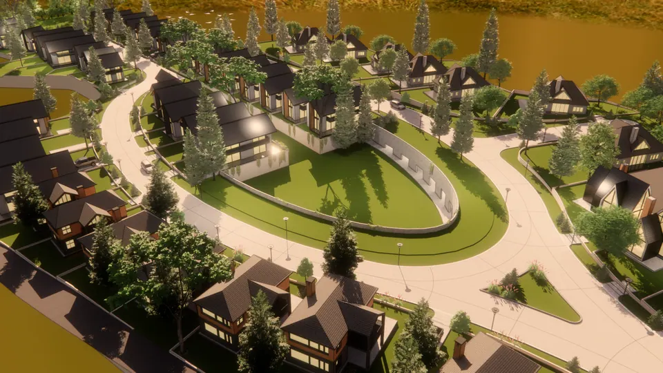
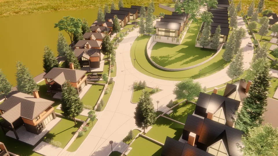
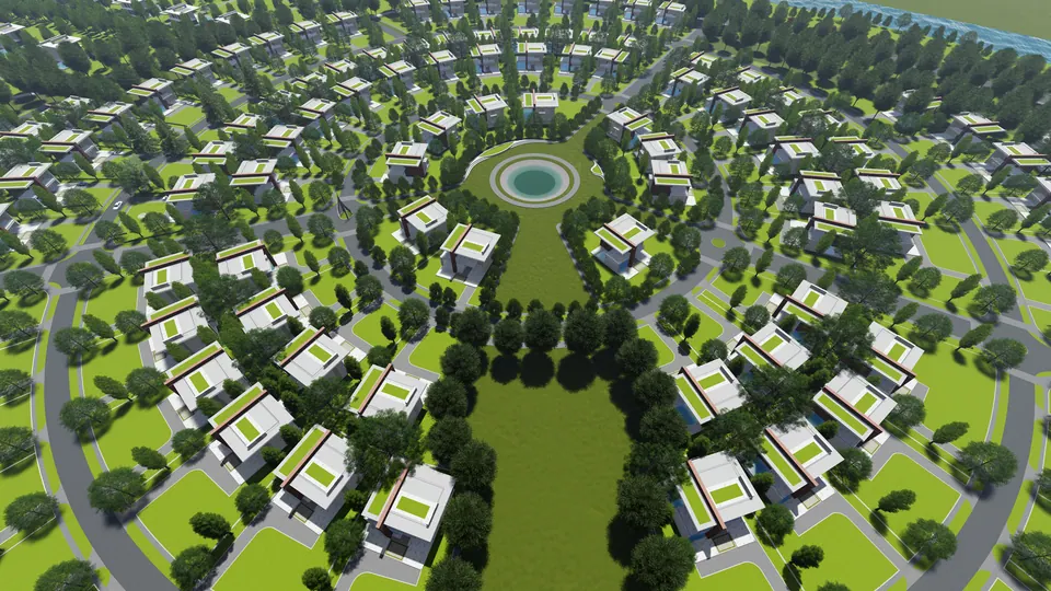
Rendered aerial of houses along a road curving around an oval green, in warm evening light
Fig. 05 Design visualisation Aerial view

02 Threshold

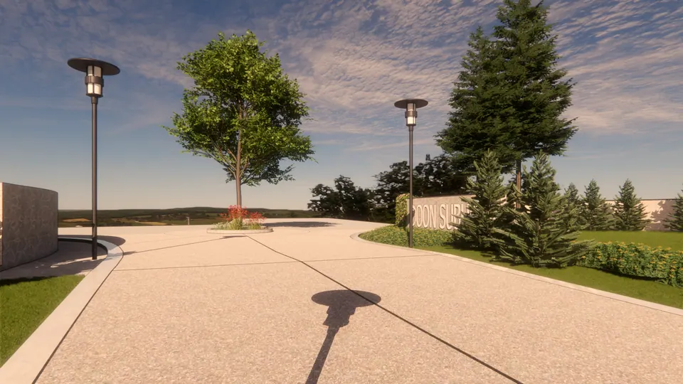
Rendered entrance plaza with lamp posts, a tree island and a stone wall bearing the development's name
Fig. 06 Design visualisation Entrance
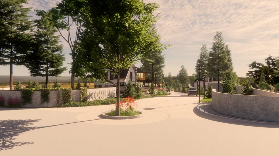
Rendered entrance seen from inside: a tree island and stone walls carrying the development's name
Fig. 07 Design visualisation Entrance from inside

03 Details

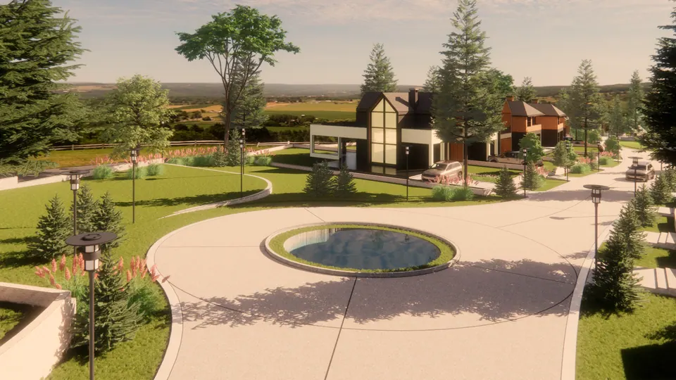
Rendered circular pond in a lawn ring at a road junction, a gabled house behind
Fig. 08 Design visualisation Pond at a junction
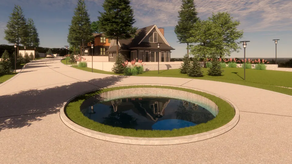
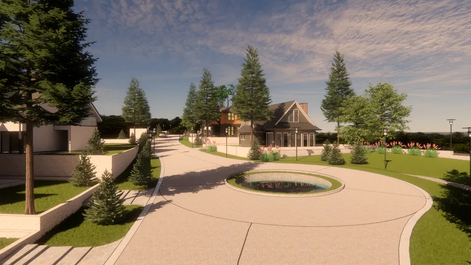
Rendered roundabout with a circular pond, the road curving uphill to houses
Fig. 09 Design visualisation Roundabout with pond
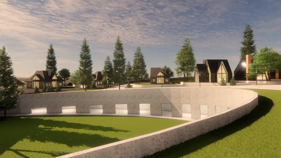
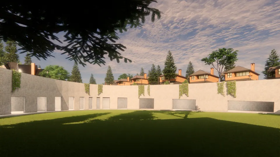
Rendered sunken lawn enclosed by a curved retaining wall with lit openings, houses above
Fig. 10 Design visualisation Sunken lawn
Rendered sunken lawn with a curved stone-capped retaining wall, houses on the higher ground
Fig. 11 Design visualisation Sunken lawn
Rendered circular pond at a junction, with lamp posts, lawns and houses on the slope
Fig. 12 Design visualisation Pond at a junction

04 Views

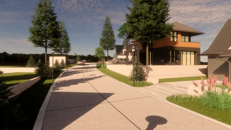
Rendered street rising between lawns and conifers towards a two-storey house with brick and dark cladding
Fig. 13 Design visualisation Street
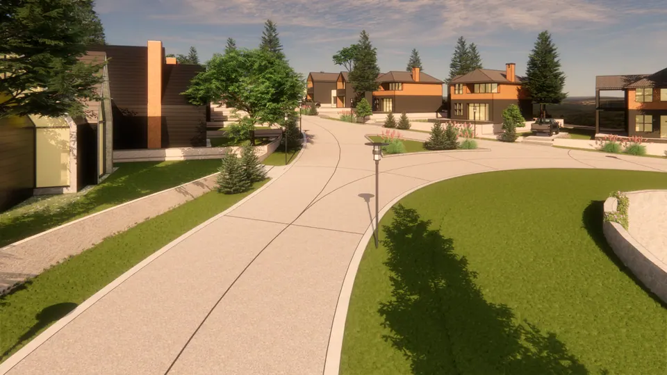
Rendered road curving past lawns towards two-storey houses with brick chimneys
Fig. 14 Design visualisation Road bend
Rendered road junction with lamp posts and conifers, white gabled houses on either side
Fig. 15 Design visualisation Junction
Rendered turning circle in front of a low house with glazed gables, conifers around it
Fig. 16 Design visualisation Turning circle
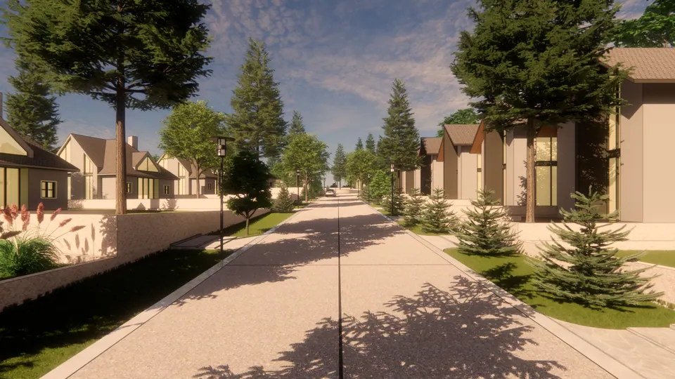
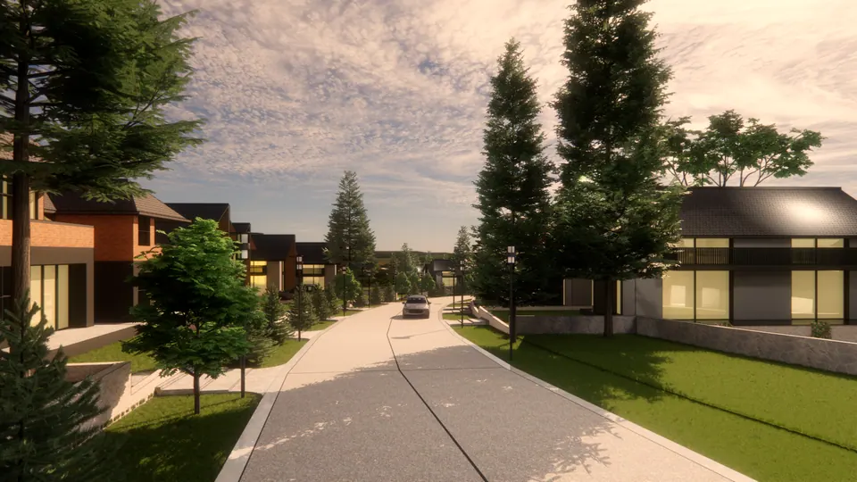
Rendered tree-lined street with low walls, conifers and gabled houses on both sides
Fig. 17 Design visualisation Tree-lined street
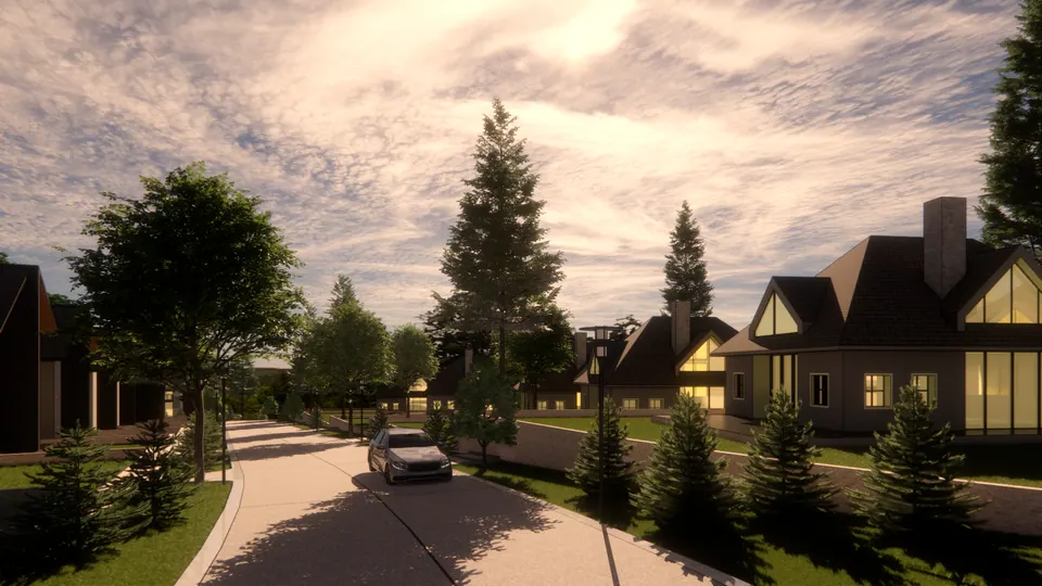
Rendered street with a car passing gabled houses with lit windows and a tall chimney, conifers in front
Fig. 18 Design visualisation Street
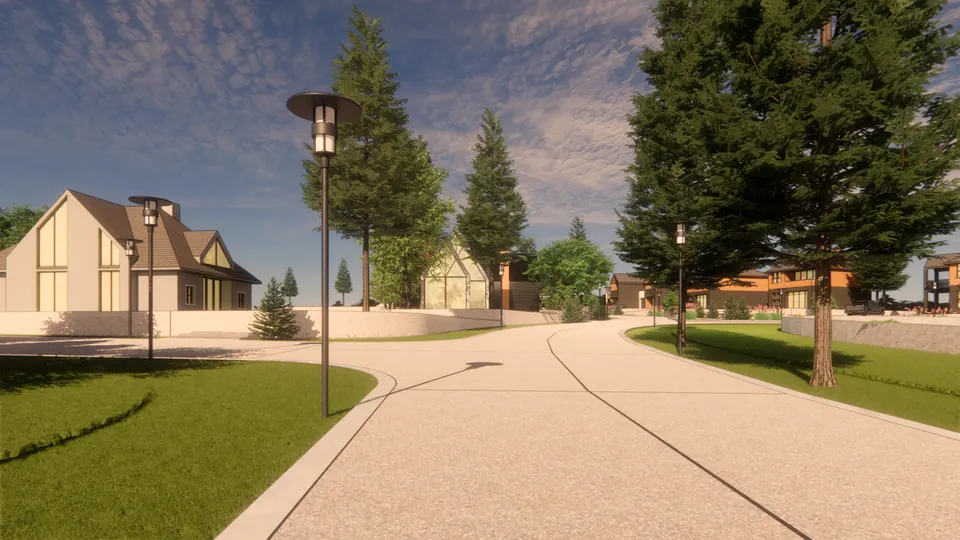
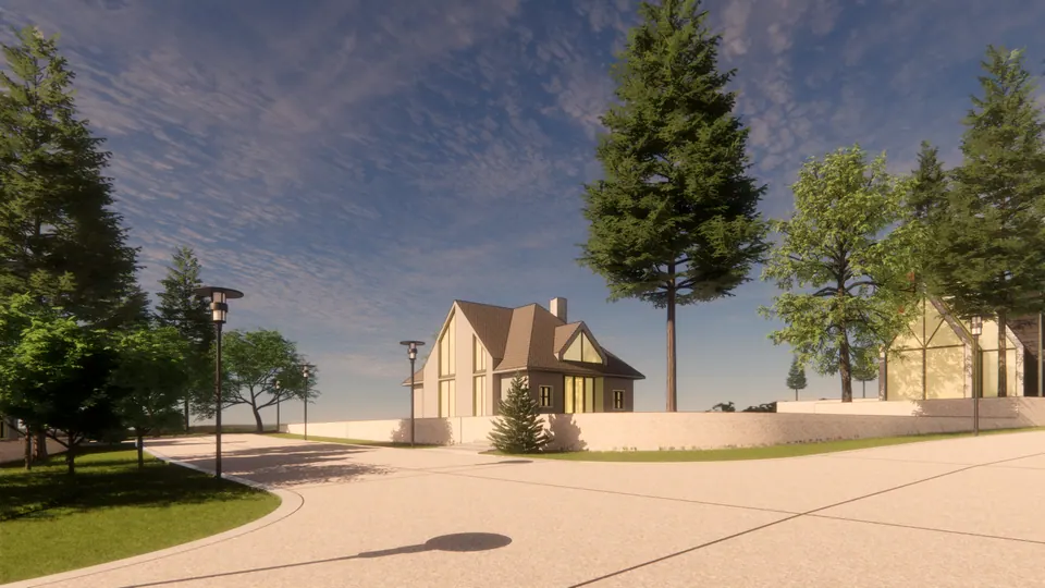
Rendered wide road bend with a gabled house and a glazed pavilion behind a low wall
Fig. 19 Design visualisation Road bend
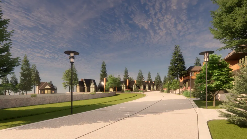
Rendered road with lamp posts along a long lawn, a row of gabled houses in the distance
Fig. 20 Design visualisation Road along the lawn
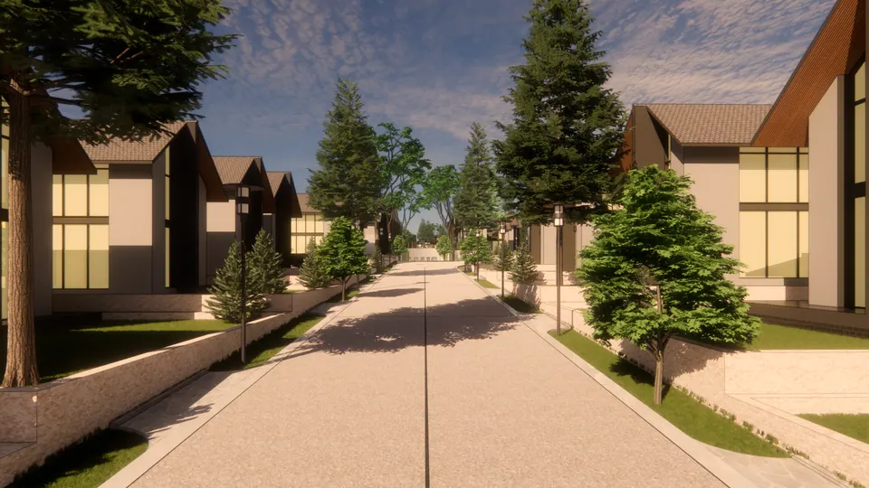
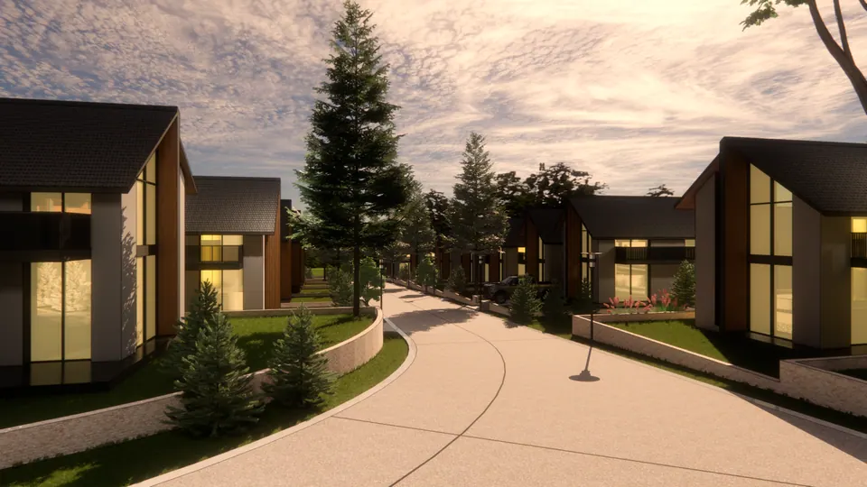
Rendered straight street between gabled houses with large lit windows and young trees
Fig. 21 Design visualisation Street
Rendered road curving around a planted island, glazed gabled houses on raised plots
Fig. 22 Design visualisation Planted island
Rendered road curving past raised plots with gabled houses and tall glazed gables
Fig. 23 Design visualisation Houses on raised plots
Rendered street bend with stone-faced plinths, gabled houses and a lamp post
Fig. 24 Design visualisation Street bend
Rendered straight road past a lawn to houses with brick facades and lit glazing
Fig. 25 Design visualisation Street
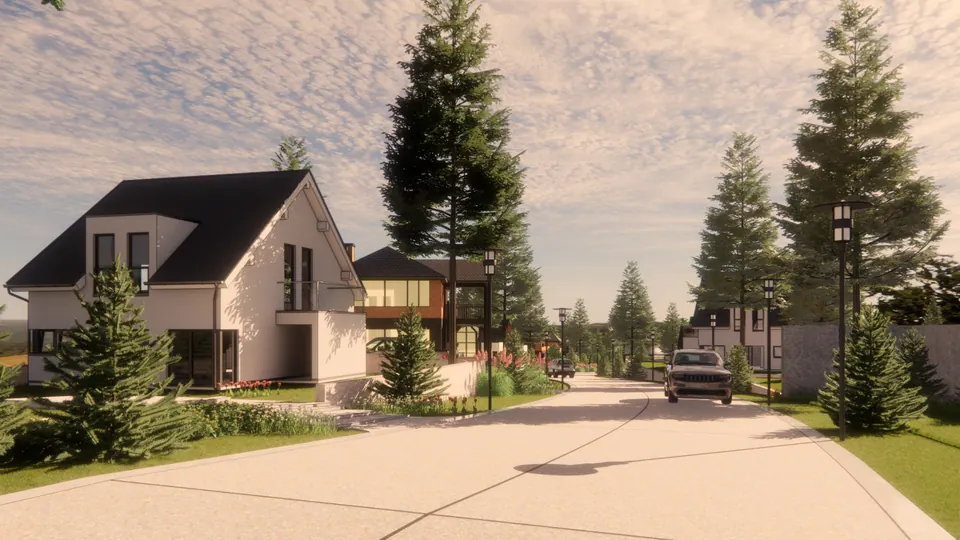
Rendered street with a white gabled house, conifers and a car approaching
Fig. 26 Design visualisation Street
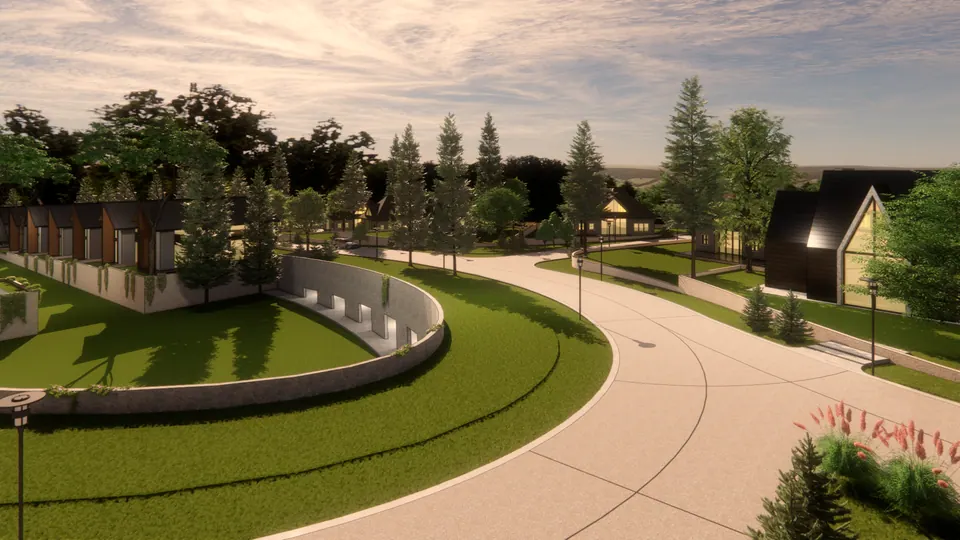
Rendered curving road past a sunken oval lawn with a retaining wall, rows of houses beyond
Fig. 27 Design visualisation Road past the sunken lawn
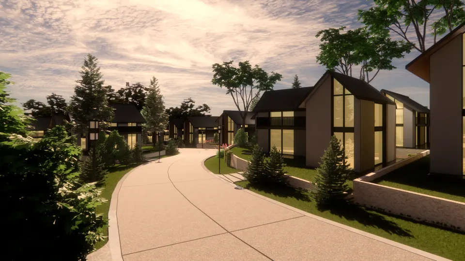
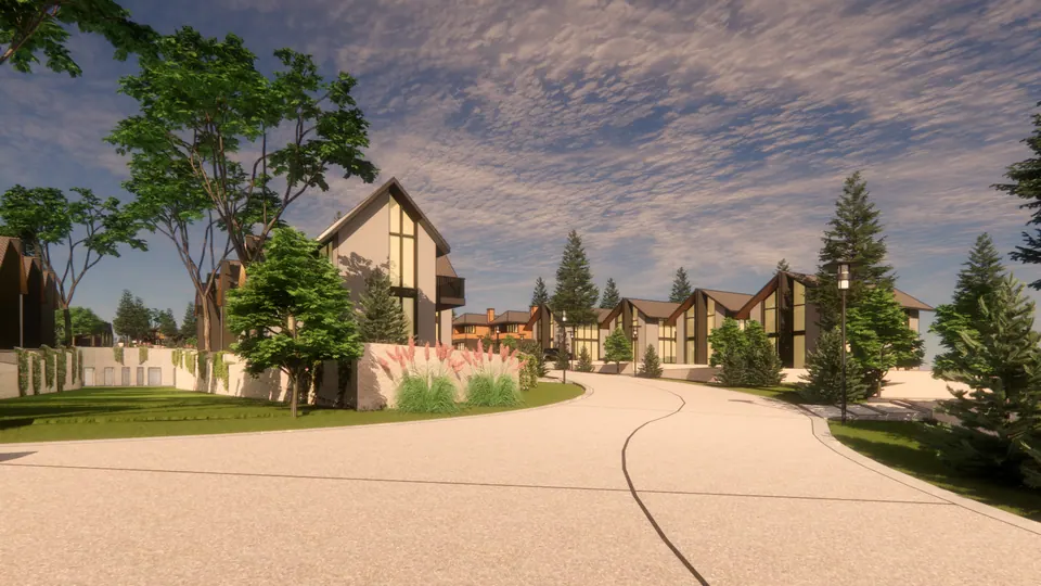
Rendered road bend with ornamental grasses and gabled houses stepping along the street
Fig. 28 Design visualisation Road bend
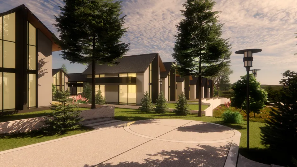
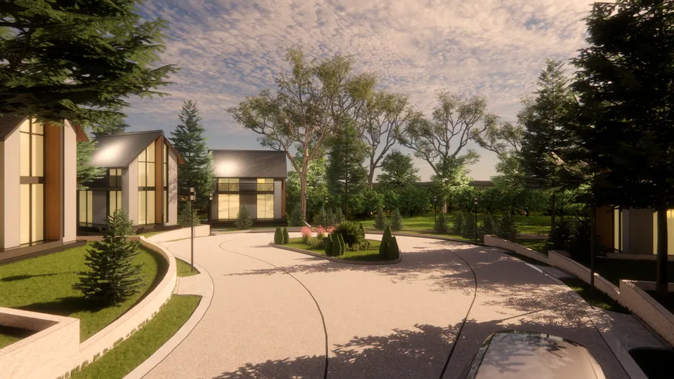
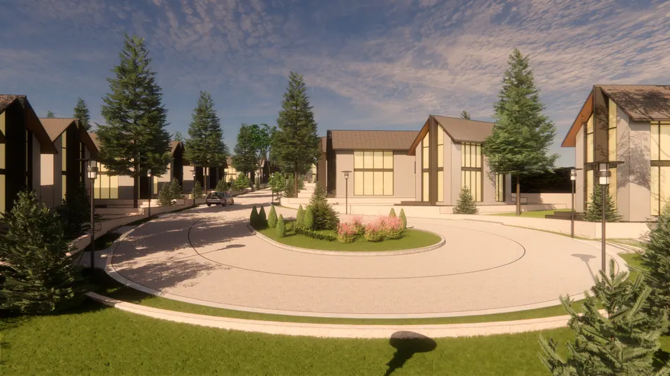
Rendered turning circle with a flowering island, gabled houses with tall windows around it
Fig. 29 Design visualisation Turning circle
Rendered road descending between stone retaining walls towards rows of gabled houses
Fig. 30 Design visualisation Road between retaining walls
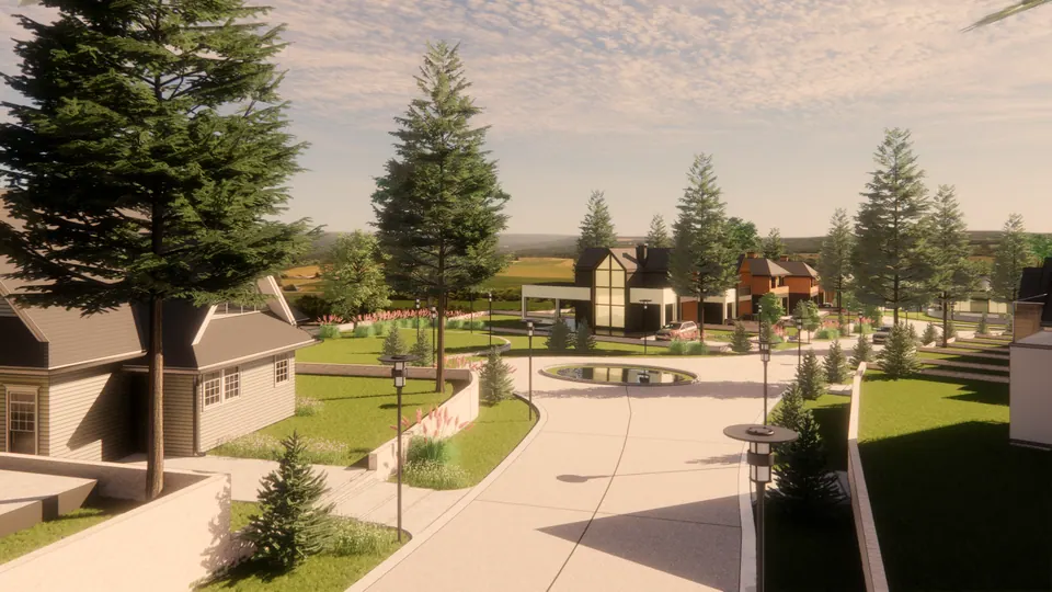
Rendered view along a road past a house and lamp posts to a circular pond and more houses
Fig. 31 Design visualisation Road to the pond
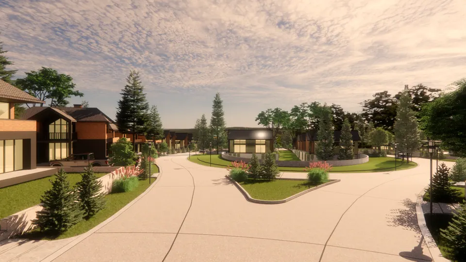
Rendered road junction with a planted island and two-storey houses in brick and glass
Fig. 32 Design visualisation Junction

Contact

Discuss a similar project

Write, call or send a message about Doon Suburbs or a site like it. Mention the site’s town or district and what you would like to build.