Catalogue number SD-013

Shivalik Foothills

Master planning and landscape

Dehradun · approximately 640 m

approximately 640 m, at the Doon valley floor · the town’s altitude
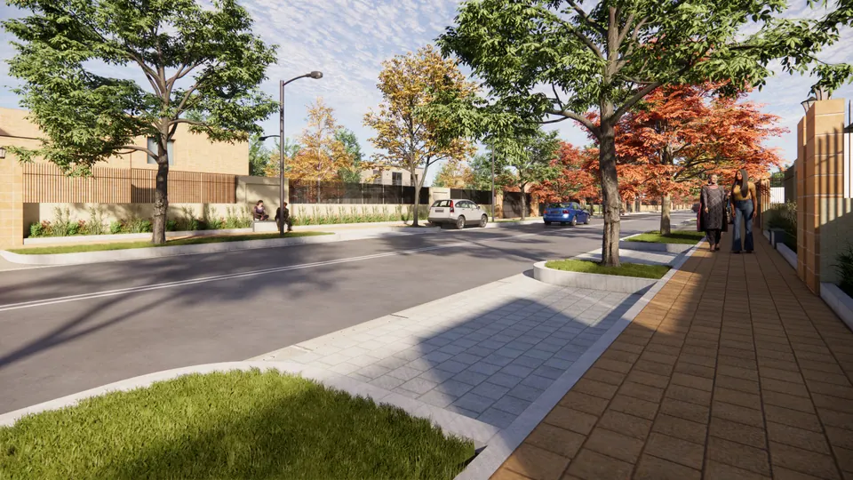
Rendered street corner: a paved footpath with two pedestrians, lawned kerbs, trees and a lamp post, with houses behind walls
Fig. 01 Design visualisation Street corner

01 Arrival

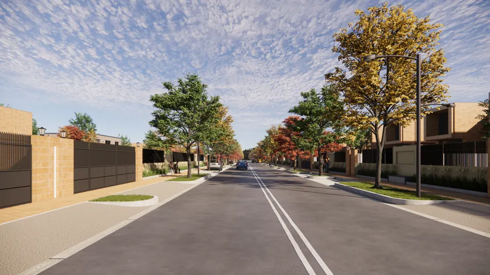
Rendered tree-lined street: a two-lane road with planted kerbs, street lights and low boundary walls in front of houses
Fig. 02 Design visualisation Street
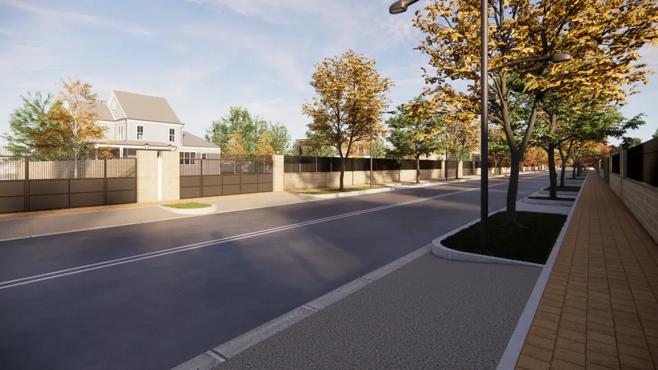
Rendered street with a broad paved footpath, a lamp post and a planted verge, with houses behind low walls
Fig. 03 Design visualisation Street and footpath

02 Details

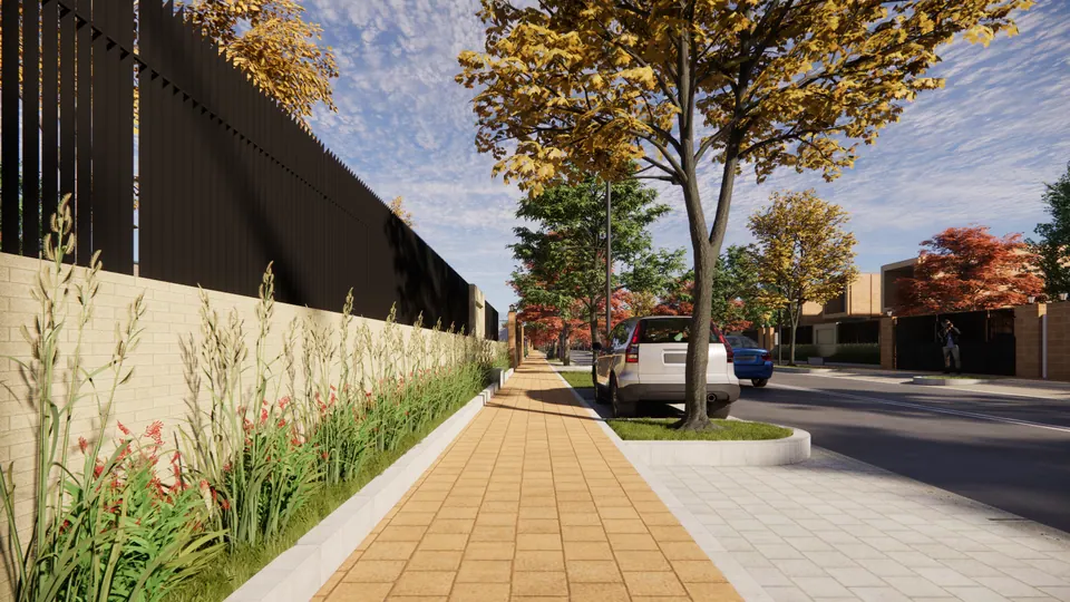
Rendered footpath of buff pavers beside a planted strip of grasses and flowers, along a boundary wall with dark slats
Fig. 04 Design visualisation Footpath and planting

03 Views

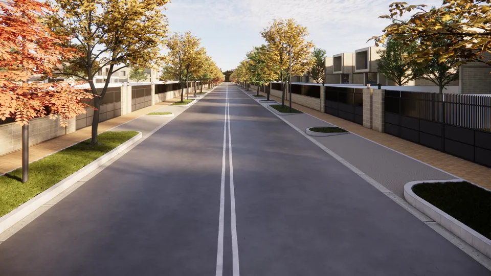
Rendered straight road lined with trees and landscaped kerb islands, between boundary walls of buff blocks and dark railings
Fig. 05 Design visualisation Street

04 Plans

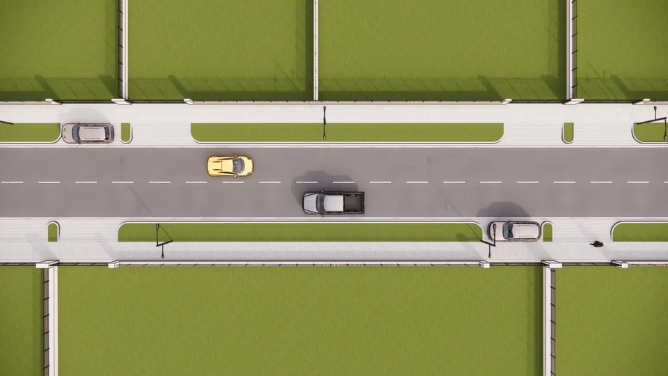
Rendered top-down view of the street: a two-lane road with cars, footpaths, planted verges and lawned plots on both sides
Fig. 06 Design visualisation Street, plan view

In the journal

Contact

Discuss a similar project

Write, call or send a message about Shivalik Foothills or a site like it. Mention the site’s town or district and what you would like to build.